


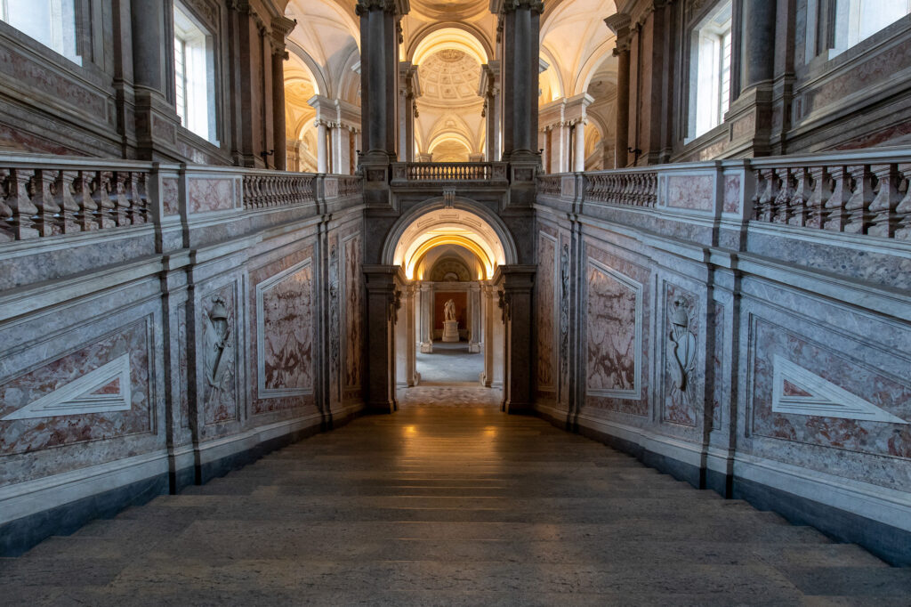
Beyond the Royal Palace
The Area
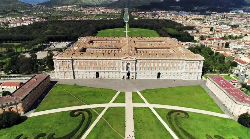
The Royal Palace of Caserta rises on the edge of the plains which Johan Wolfgang von Goethe in 1787 defined “the most fertile in the world”. The territory was already appreciated in ancient times: in the first century A.D. Pliny the Elder calls it the Terra Felix in his Naturalis Historia; during the Middle Ages its fertility earned the nickname (the name?) of “Terra di Lavoro” (work field). The plains, bordered to the east by the chain of the Tifatini Mountains and to the west by the Tyrrhenian Sea, has favoured over the centuries the settlement of peoples whose culture can be traced today both in the urban fabric and in the cultural sites of the area. The potential of the place is also recognized by Charles of Bourbon, whom after the 1842s chose to move the capital of the kingdom of Naples to Caserta. The construction of the Royal Palace of Caserta begun in 1752 and it is only the beginning of a territorial intervention plan with a clear Enlightenment imprint, destined to change the fate of the territory.
 Find out more

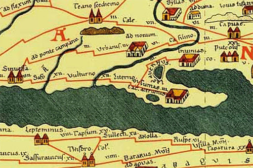
The Volturno
The plains where the Royal Palace of Caserta stands is bathed by the Volturno, the most important river in Campania. The waterway reaches a total length of 175 kilometres, crossing three regions before flowing into the sea at Castel Volturno. Thanks to the activity of the river, the volcanic soil and the mild climate, the area is a favourite production site for excellent products such as Campania DOP buffalo mozzarella. Its production is monitored by the Protection Consortium, located at the Cavallerizze inside the Royal Palace. The habitat nourished by the Volturno is not only preferred by buffaloes: over 200 species of birds choose the river mouth as a place of refuge, a protected nature reserve since 1993.


The river, a strategic axis
In ancient times, the Volturno was a source of supply and a connection route for the inhabitants of the area, becoming a strategic axis. Its state, however, has not always been maintained in favourable conditions for use. According to ancient sources, variations in the flow and in the river bed would have led the area to become swamp up often; starting from the second century A.D. the construction of the Via Domitia gradually affected its regular use. During the ninth century A.D. one of the bends of the river is chosen as the place where Capua would be re-built. The new city rises in such a strategic position that at the time of Frederick II of Swabia it will be a gateway to the Kingdom of Sicily.
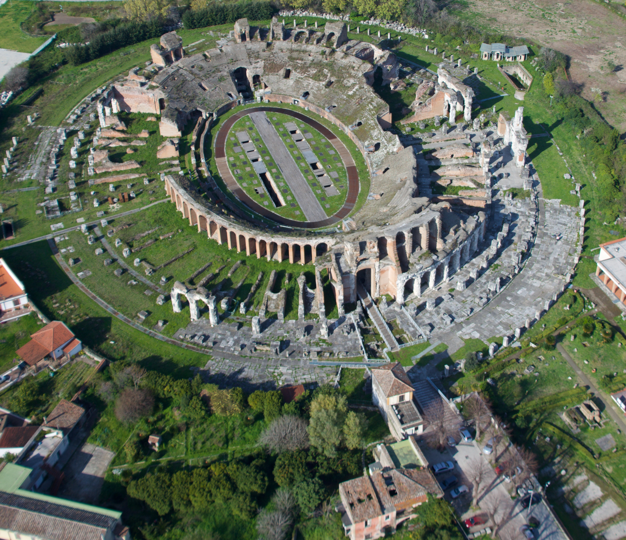
The Via Appia
The area is crossed by the Via Appia, one of the main connecting axes of the Roman Empire and for this reason defined as Regina Viarum. Its construction started in 312 BC. with the intention of creating a quick link between Rome and Ancient Capua. In the area, its route is marked by Roman monuments such as the Arch of Hadrian and the mausoleum nicknamed “La Conocchia”, once located on the road. After Ancient Capua, the Via Appia continued towards Calatia (the modern Maddaloni). It is possible to virtually retrace its route at the Archaeological Museum of Calatia in Maddaloni.

